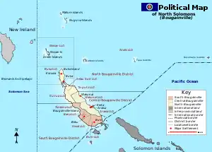
Sable Island (Papua-Neuguinea)
Sable Island (auch Sable Islet oder Sand Island) ist eine kleine, unbewohnte Insel der Nuguria-Inseln im Pazifischen Ozean, etwa 16 km südwestlich des Nuguria-Atolls gelegen. Das rund 2 m hohe Eiland ist von einem Korallenriff umsäumt.[1] Sable Island gehört politisch zu Papua-Neuguinea und dort zum Atolls Local Level Government des North Bougainville Districts in der autonomen Region Bougainville.
| Sable Island | ||
|---|---|---|
.png.webp) Landsat-Bild von Sable Island | ||
| Gewässer | Pazifischer Ozean | |
| Inselgruppe | Nuguria-Inseln | |
| Geographische Lage | 3° 36′ 7,4″ S, 154° 38′ 28,6″ O | |
| ||
| Länge | 200 m | |
| Breite | 200 m | |
| Fläche | 3 ha | |
| Höchste Erhebung | 2,4 m | |
| Einwohner | unbewohnt | |
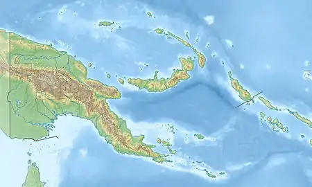
 Karte der Provinz mit Lage der Insel (der schwarze Punkt unterhalb der Nuguria Islands im Nordwesten der Provinz) (der schwarze Punkt unterhalb der Nuguria Islands im Nordwesten der Provinz) | ||
Einzelnachweise
- National Geospatial-Intelligence Agency: Sailing Directions (enroute), Pub. 126, Pacific Ocean (englisch; PDF; 5,1 MB) (Abgerufen am 10. Januar 2011)
This article is issued from Wikipedia. The text is licensed under Creative Commons - Attribution - Sharealike. The authors of the article are listed here. Additional terms may apply for the media files, click on images to show image meta data.