Rodgers Island (Maine)
Rodgers Island (oder Rogers Island) ist eine Insel auf dem Gebiet des Orts Lubec, im Washington County im US-Bundesstaat Maine.
| Rodgers Island | ||
|---|---|---|
| Gewässer | Atlantik (Johnson Bay) | |
| Geographische Lage | 44° 52′ N, 67° 0′ W | |
| ||
| Länge | ca. 0,890 km | |
| Breite | ca. 0,118 km | |
| Höchste Erhebung | 28 m | |
| Einwohner | unbewohnt | |
Informationen und Daten
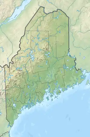
Die Rodgers Island befindet sich in der Johnson Bay in Maine und New Brunswick.
Die Insel ist unbewohnt.[1]
Die Insel hat eine Länge von ca. 890 Metern, eine Breite von ca. 118 Metern.[1] Die höchste Erhebung auf der Insel liegt bei 28 Metern.[2][3]
Einzelnachweise
- Google Earth. Abgerufen am 17. April 2020.
- Rodgers Island. In: mapcarta. Abgerufen am 17. April 2020 (englisch).
- GNIS Detail - Rodgers Island. Abgerufen am 17. April 2020.
This article is issued from Wikipedia. The text is licensed under Creative Commons - Attribution - Sharealike. The authors of the article are listed here. Additional terms may apply for the media files, click on images to show image meta data.