Point Thomas
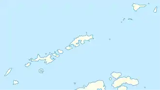
Point Thomas ist eine bis zu 173 m hohe Landspitze an der Südküste von King George Island in den Südlichen Shetlandinseln. Sie markiert die Südseite der Einfahrt zum Ezcurra-Fjord in der Admiralty Bay und ist Standort der polnischen Arctowski-Station.
| Point Thomas | ||
| Geographische Lage | ||
| ||
| Koordinaten | 62° 9′ S, 58° 29′ W | |
| Lage | King George Island (Südliche Shetlandinseln) | |
| Gewässer | Admiralty Bay | |
| Gewässer 2 | Ezcurra-Fjord | |
| Höhe | 173 m | |
Kartiert wurde die Landspitze im Dezember 1909 bei der Fünften Französischen Antarktisexpedition (1908–1910) unter der Leitung des Polarforschers Jean-Baptiste Charcot. Dieser benannte sie nach einem Besatzungsmitglieds seines Forschungsschiffs Pourquoi Pas ?.
Weblinks
- Point Thomas im Geographic Names Information System des United States Geological Survey (englisch)
- Point Thomas auf geographic.org (englisch)
This article is issued from Wikipedia. The text is licensed under Creative Commons - Attribution - Sharealike. The authors of the article are listed here. Additional terms may apply for the media files, click on images to show image meta data.
