Pinckard Table
Der Pinckard Table ist ein vereister und bis zu 1640 m hoher Tafelberg im ostantarktischen Viktorialand. Er erstreckt sich über eine Länge von 13 km und eine Breite von 5 km zwischen dem Styx-Gletscher und dem Burns-Gletscher.
| Pinckard Table | ||
|---|---|---|
| Höhe | 1640 m | |
| Lage | Viktorialand, Ostantarktika | |
| Gebirge | Transantarktisches Gebirge | |
| Koordinaten | 74° 0′ 0″ S, 164° 3′ 0″ O | |
| ||
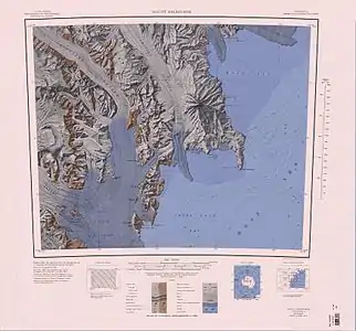
Kartenblatt Mount Melbourne von 1967, Pinckard Table in der Mitte des nördlichen Kartenrandes | ||

Der United States Geological Survey kartierte ihn anhand eigener Vermessungen und Luftaufnahmen der United States Navy aus den Jahren von 1955 bis 1963. Das Advisory Committee on Antarctic Names benannte ihn 1968 nach William Pinckard, Biologe auf der McMurdo-Station von 1965 bis 1966.
Weblinks
- Pinckard Table im Geographic Names Information System des United States Geological Survey (englisch)
- Pinckard Table auf geographic.org (englisch)
This article is issued from Wikipedia. The text is licensed under Creative Commons - Attribution - Sharealike. The authors of the article are listed here. Additional terms may apply for the media files, click on images to show image meta data.