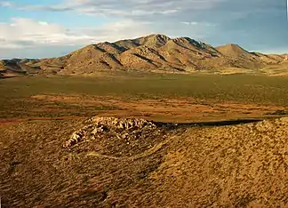
Peloncillo Mountains
Die Peloncillo Mountains sind ein bis zu 2113 m hohes Gebirge im Osten Arizonas (60 %) und im Westen New Mexicos (40 %). Das Gebirge gehört zu den Southeast Arizona Ranges und erstreckt sich über 174 Kilometer Nord-Süd und 76 Kilometer Ost-West. Die Fläche beträgt 5072 km². Höchste Erhebung ist der Gray Mountain in New Mexico mit einer Höhe von 2113 m.
| Peloncillo Mountains | ||
|---|---|---|
 | ||
| Höchster Gipfel | Gray Mountain (2113 m) | |
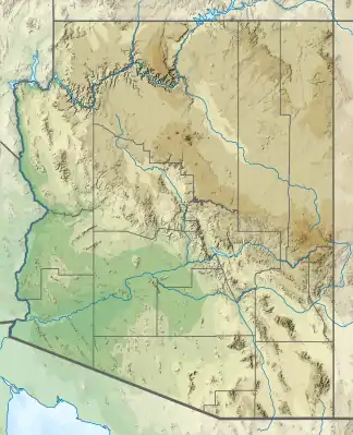
| Lage | Arizona, New Mexico (USA) | |
| Teil der | Southeast Arizona Ranges | |
| ||
| Koordinaten | 31° 53′ N, 108° 55′ W | |
| Fläche | 5.072 km² | |
Berge
| Name | Bundesstaat | Höhe |
|---|---|---|
| Gray Mountain | New Mexico | 2113 m |
| Guthrie Peak | Arizona | 2004 m |
| Peloncillo Mountains | Arizona | 1987 m |
| Whitlock Peak | Arizona | 1893 m |
| Whitlock Mountains High Point | Arizona | 1732 m |
Weblinks
- Gray mountain auf summitpost.org (englisch)
This article is issued from Wikipedia. The text is licensed under Creative Commons - Attribution - Sharealike. The authors of the article are listed here. Additional terms may apply for the media files, click on images to show image meta data.