Nuʻusafeʻe
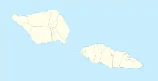
Nuʻusafeʻe (auch: Satalo) ist eine Insel, die vor der Südküste der Insel Upolu liegt. Sie gehört zum politischen Bezirk (itūmālō) Atua im Inselstaat Samoa.
| Nuʻusafeʻe | ||
|---|---|---|
| Gewässer | Pazifischer Ozean | |
| Inselgruppe | Samoainseln | |
| Geographische Lage | 14° 2′ 49,1″ S, 171° 41′ 24,3″ W | |
| ||
| Länge | 80 m | |
| Breite | 80 m | |
| Fläche | 2 ha | |
Geographie
Nuʻusafeʻe liegt vor der Südküste von Upolu im Eingangsbereich zum Hafen Falealili Harbor mit den Siedlungen Poutasi, Saleilua, Vaovai und Matautu. Die Insel misst nur etwa 80 m im Durchmesser. Sie wird durch ein Korallenriff vom Meer im Süden abgeschlossen. Administrativ gehört die Insel zum Bezirk Atua.[1]
Einzelnachweise
Weblinks
- New Zealand Electronic Centre, Victoria University of Wellington: An Introduction to Samoan Custom by F.J.H. Grattan
- David Stanley: Moon Handbooks South Pacific. 2004: 520. ISBN 1-56691-411-6
This article is issued from Wikipedia. The text is licensed under Creative Commons - Attribution - Sharealike. The authors of the article are listed here. Additional terms may apply for the media files, click on images to show image meta data.
