Mweelrea
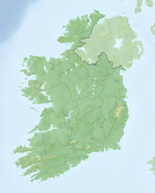
Der Mweelrea (irisch: Cnoc Maol Réidh, d. h. kahler, grauer Hügel) ist ein Berg im Westen Irlands, in der südwestlichen Spitze der irischen Grafschaft Mayo.
| Mweelrea / Cnoc Maol Réidh | ||
|---|---|---|
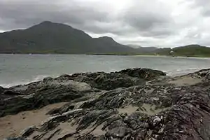
Berg Mweelrea hinter Killary Harbour | ||
| Höhe | 814 m | |
| Lage | Grafschaft Mayo, Irland | |
| Koordinaten | 53° 38′ 15″ N, 9° 49′ 50″ W | |
| ||
Mit einer Höhe von 817 Metern ist der Mweelrea die höchste Erhebung in Mayo und Connacht. Er überragt Killary Harbour, den einzigen Fjord Irlands. Von seinem Gipfel hat man einen guten Ausblick auf Teile der Countys Galway und Mayo. Mweelrea liegt westlich des Doo Lough und der Ortschaft Delphi.
This article is issued from Wikipedia. The text is licensed under Creative Commons - Attribution - Sharealike. The authors of the article are listed here. Additional terms may apply for the media files, click on images to show image meta data.