Mount Shirley
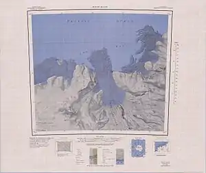
Mount Shirley ist ein eisbedeckter Berg nahe der Ruppert-Küste im westantarktischen Marie-Byrd-Land. Er ragt auf der Westseite der Mündung des Land-Gletschers auf. Seine Ostflanke ist gekennzeichnet durch einen markanten Bergkessel.
| Mount Shirley | ||
|---|---|---|

Kartenblatt mit Mount Shirley | ||
| Lage | Marie-Byrd-Land, Westantarktika | |
| Koordinaten | 75° 39′ 0″ S, 142° 3′ 0″ W | |
| ||
Teilnehmer der United States Antarctic Service Expedition (1939–1941) entdeckten ihn und benannten ihn nach Charles C. Shirley (1909–1989), leitender Fotograf der Westbasis bei dieser Forschungsreise.
Weblinks
- Mount Shirley im Geographic Names Information System des United States Geological Survey (englisch)
- Mount Shirley auf geographic.org (englisch)
This article is issued from Wikipedia. The text is licensed under Creative Commons - Attribution - Sharealike. The authors of the article are listed here. Additional terms may apply for the media files, click on images to show image meta data.
