Mount Manke
Mount Manke ist ein 940 m hoher Berg im westantarktischen Marie-Byrd-Land. Er markiert die östliche Grenze der Harold Byrd Mountains.
| Mount Manke | ||
|---|---|---|
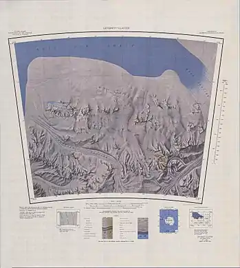
Topografisches Kartenblatt mit den Harold Byrd Mountains (links oben) und Mount Manke | ||
| Höhe | 900 m | |
| Lage | Marie-Byrd-Land, Westantarktika | |
| Gebirge | Harold Byrd Mountains, Transantarktisches Gebirge | |
| Koordinaten | 85° 28′ 0″ S, 144° 42′ 0″ W | |
| ||

Der United States Geological Survey kartierte ihn anhand eigener Vermessungen und Luftaufnahmen der United States Navy aus den Jahren von 1960 bis 1963. Das Advisory Committee on Antarctic Names benannte ihn 1967 nach Robert M. Manke (* 1940), Faktotum auf der Byrd-Station im antarktischen Winter 1960.
Weblinks
- Mount Manke im Geographic Names Information System des United States Geological Survey (englisch)
- Mount Manke auf geographic.org (englisch)
This article is issued from Wikipedia. The text is licensed under Creative Commons - Attribution - Sharealike. The authors of the article are listed here. Additional terms may apply for the media files, click on images to show image meta data.