Mount Bowles
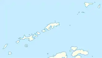
Mount Bowles ist ein 834 m hoher und eisbedeckter Berg auf der Livingston-Insel im Archipel der Südlichen Shetlandinseln. Er ragt 5 km nördlich des Mount Friesland auf.
| Mount Bowles | ||
|---|---|---|

Blick über den Perunika-Gletscher auf Mount Bowles (links) | ||
| Höhe | 834 m | |
| Lage | Livingston-Insel, Südliche Shetlandinseln | |
| Gebirge | Bowles Ridge | |
| Koordinaten | 62° 37′ 0″ S, 60° 12′ 9″ W | |
| ||
Der Berg ist erstmals auf Landkarten des britischen Polarforschers Henry Foster während seiner Fahrt mit der HMS Chanticleer (1828–1831) verzeichnet. Foster benannte ihn nach Admiral William Bowles (1780–1869), von 1816 bis 1820 Oberkommandierender der Pacific Station.
Weblinks
- Mount Bowles im Geographic Names Information System des United States Geological Survey (englisch)
- Mount Bowles auf geographic.org (englisch)
This article is issued from Wikipedia. The text is licensed under Creative Commons - Attribution - Sharealike. The authors of the article are listed here. Additional terms may apply for the media files, click on images to show image meta data.
