Morris Point
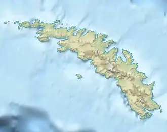
Der Morris Point ist eine Landspitze im Süden von Bird Island vor dem westlichen Ende Südgeorgiens. Sie liegt 800 m östlich des Pearson Point.
| Morris Point | ||
| Geographische Lage | ||
| ||
| Koordinaten | 54° 1′ S, 38° 4′ W | |
| Lage | Bird Island | |
| Gewässer | Südatlantik | |
Das UK Antarctic Place-Names Committee benannte sie 1977. Namensgeber ist Roger Oliver Morris (* 1932) von der Royal Navy, hydgrographischer Offizier an Bord der HMS Owen bei der Vermessung der Stewart Strait und angrenzender Gebiete zwischen 1960 und 1961.
Weblinks
- Morris Point im Geographic Names Information System des United States Geological Survey (englisch)
- Morris Point auf geographic.org (englisch)
This article is issued from Wikipedia. The text is licensed under Creative Commons - Attribution - Sharealike. The authors of the article are listed here. Additional terms may apply for the media files, click on images to show image meta data.