Moraine Bluff
Das Moraine Bluff ist ein 930 m hohes Felsenkliff an der Hillary-Küste im Süden des ostantarktischen Viktorialands. Es ragt nördlich des Red Dike Bluff an der Ostflanke des Skelton-Gletschers auf.
| Moraine Bluff | ||
|---|---|---|
| Lage | Viktorialand, Ostantarktika | |
| Teil des | Transantarktischen Gebirges | |
| ||
| Koordinaten | 78° 46′ S, 162° 12′ O | |
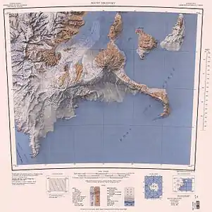 Topographische Karte (1:250.000) mit dem Moraine Bluff (links unten) Topographische Karte (1:250.000) mit dem Moraine Bluff (links unten) | ||

Die neuseeländische Mannschaft der Commonwealth Trans-Antarctic Expedition (1955–1958) nahm 1957 Vermessungen und die Benennung vor. Namensgebend ist ein Moränenstreifen, der sich von der Basis des Kliffs in den Skelton-Gletscher erstreckt.
Weblinks
- Moraine Bluff im Geographic Names Information System des United States Geological Survey (englisch)
- Moraine Bluff auf geographic.org (englisch)
This article is issued from Wikipedia. The text is licensed under Creative Commons - Attribution - Sharealike. The authors of the article are listed here. Additional terms may apply for the media files, click on images to show image meta data.