Moores Peak
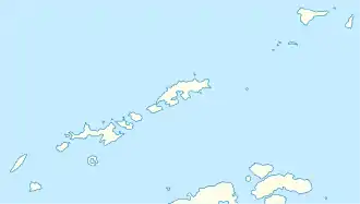
Der Moores Peak ist ein etwa 370 m hoher Berg auf der Livingston-Insel im Archipel der Südlichen Shetlandinseln. Er ragt am Westufer und nahe dem Kopfende der False Bay auf der Hurd-Halbinsel auf.
| Moores Peak | ||
|---|---|---|

Blick auf die Hurd-Halbinsel mit dem Napier Peak, dem Cerro Mirador und dem Moores Peak (v. r. n. l.) | ||
| Höhe | 370 m | |
| Lage | Livingston-Insel, Südliche Shetlandinseln | |
| Koordinaten | 62° 41′ 14″ S, 60° 20′ 3″ W | |
| ||
Das UK Antarctic Place-Names Committee benannte ihn 1990 Kapitän Prince B. Moores (1800–nach 1850), Schiffsführer der George Porter aus Nantucket, der zwischen 1821 und 1822 in den Gewässern um die Südlichen Shetlandinseln operierte.
Weblinks
- Moores Peak im Geographic Names Information System des United States Geological Survey (englisch)
- Moores Peak auf geographic.org (englisch)
This article is issued from Wikipedia. The text is licensed under Creative Commons - Attribution - Sharealike. The authors of the article are listed here. Additional terms may apply for the media files, click on images to show image meta data.
