Montagne Glacis
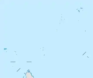
Die Montagne Glacis ist ein 458 m hohes Bergmassiv aus Granit auf der Nordzunge der Seychellen-Insel Mahé im Distrikt Glacis.
| Montagne Glacis | ||
|---|---|---|
| Höhe | 458 m | |
| Lage | Mahé | |
| Koordinaten | 4° 34′ 34″ S, 55° 26′ 41″ O | |
| ||
| Gestein | Granit | |
Geographie
Die Montagne Glacis bestimmt die Landschaft im gleichnamigen Distrikt. Der Ausläufer North Hill ist der „Hausberg“ von Machabee an der Nordküste. Der höchste Gipfel Howard liegt etwa einen Kilometer weiter südwestlich, oberhalb des Ortes Vista do Mar.[1] Der Gipfelbereich steht als Montagne Glacis Important Bird Area unter Naturschutz. Die Flora besteht vor allem aus eingeführten Pflanzenarten.
Weblinks
- datazone.birdlife.org
- peakery.com: Topographische Karte.
Einzelnachweise
- Mount Howard bei GeoNames geonames.org. Abgerufen am 10. Oktober 2020.
This article is issued from Wikipedia. The text is licensed under Creative Commons - Attribution - Sharealike. The authors of the article are listed here. Additional terms may apply for the media files, click on images to show image meta data.
