Mont Obima
Der Mont Obima ist ein 800 m hoher Berg der Republik Kongo.
| Mont Obima | ||
|---|---|---|
| Höhe | 800 m | |
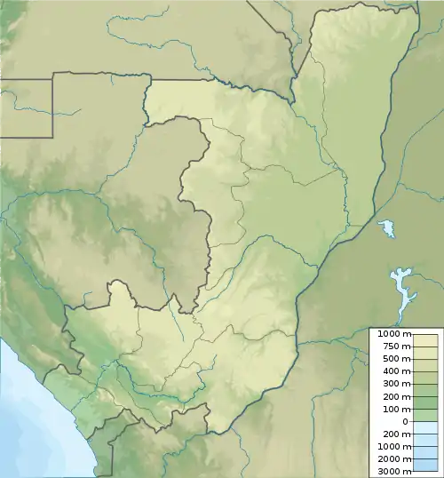
| Lage | Lékoumou, Republik Kongo | |
| Koordinaten | 3° 10′ 27″ S, 13° 21′ 26″ O | |
| ||
Geographie
Der Berg liegt zentral im kongolesischen Departement Lékoumou, nordöstlich von Komono. Südlich des Berges zieht sich das Tal des Maoungou nach Nordosten, welches auch als Verkehrsroute dient. Die nächsten Orte sind Kabala im Südosten und Mbila im Süden.[1] Das Gebiet ist von dichtem Regenwald bedeckt.
Einzelnachweise
- Mont Obima bei GeoNames, geonames.org. Abgerufen am 2021-11-30.
This article is issued from Wikipedia. The text is licensed under Creative Commons - Attribution - Sharealike. The authors of the article are listed here. Additional terms may apply for the media files, click on images to show image meta data.