McLeod-Gletscher (Viktorialand)
Der McLeod-Gletscher ist ein Gletscher im Norden des ostantarktischen Viktorialands. Er fließt aus den Wilson Hills zwischen den Gebirgskämmen Stanwix Ridge und Arthurson Ridge zur Davies Bay an der Oates-Küste.
| McLeod-Gletscher | ||
|---|---|---|
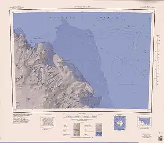 McLeod-Gletscher (links oben) McLeod-Gletscher (links oben) | ||
| Lage | Viktorialand, Ostantarktika | |
| Gebirge | Wilson Hills, Transantarktisches Gebirge | |
| Koordinaten | 69° 22′ S, 158° 22′ O | |
| ||
| Entwässerung | Davies Bay, Somow-See | |

Australische Kartografen kartierten den Gletscher anhand von Luftaufnahmen der US-amerikanischen Operation Highjump (1946–1947). Das Antarctic Names Committee of Australia (ANCA) benannte ihn nach dem australischen Geologen Ian Roderick McLeod (* 1931), Leiter der luftunterstützten Mannschaft, die im Rahmen der Australian National Antarctic Research Expeditions im Jahr 1961 das Gebiet um den Gletscher erkundete.
Weblinks
- McLeod Glacier im Geographic Names Information System des United States Geological Survey (englisch)
- McLeod Glacier auf geographic.org (englisch)
This article is issued from Wikipedia. The text is licensed under Creative Commons - Attribution - Sharealike. The authors of the article are listed here. Additional terms may apply for the media files, click on images to show image meta data.