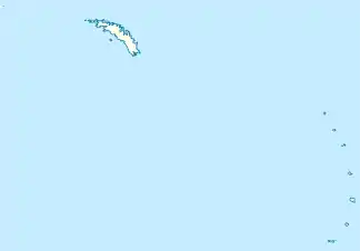
Maurice Channel
Der Maurice Channel ist eine 2,5 km breite Meerenge im Archipel der Südlichen Sandwichinseln. In der Gruppe der Südlichen Thuleinseln trennt sie Bellingshausen Island von Cook Island.
| Maurice Channel | ||
|---|---|---|
| Verbindet Gewässer | Südatlantik | |
| mit Gewässer | Südatlantik | |
| Trennt Landmasse | Bellingshausen Island | |
| von Landmasse | Cook Island | |
| Daten | ||
| Geographische Lage | 59° 25′ 34″ S, 27° 6′ 52″ W | |
| ||
| Geringste Breite | 2,5 km | |
Die Existenz des Kanals lässt sich indirekt aus den Beschreibungen der Südlichen Thuleinseln durch Fabian Gottlieb von Bellingshausen aus dem Jahr 1820 ableiten, in denen sie als ein hoher Klippenfelsen und drei kleine Inseln dargestellt sind. Wissenschaftler der britischen Discovery Investigations kartierten ihn im Jahr 1930. Sie benannten ihn nach Henry Gascoyne Maurice (1874–1950), Präsident des International Council for the Exploration of the Sea von 1920 bis 1938.
Weblinks
- Maurice Channel im Geographic Names Information System des United States Geological Survey (englisch)
- Maurice Channel auf geographic.org (englisch)
This article is issued from Wikipedia. The text is licensed under Creative Commons - Attribution - Sharealike. The authors of the article are listed here. Additional terms may apply for the media files, click on images to show image meta data.
