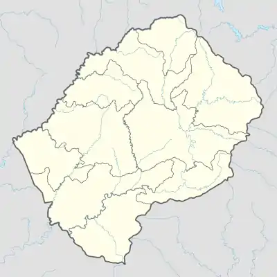
Matebeng
Matebeng (Matabeng) ist ein Ort und ein Community Council im Distrikt Qacha’s Nek im Königreich Lesotho. Im Jahre 2006 hatte der Bezirk eine Bevölkerung von 1735 Personen.[1]
| Matebeng | |||
|---|---|---|---|
| |||
| Koordinaten | 29° 51′ S, 28° 52′ O | ||
| Basisdaten | |||
| Staat | Lesotho | ||
| Qacha’s Nek | |||
| Höhe | 2246 m | ||
Lage
Der Ort liegt am Fluss Senqu im Südosten des Landes auf einer Höhe von ca. 2246 m.[2] Über den Matebeng Pass gibt es mit der A4 eine Verbindung nach Mavuka. Im Norden grenzt die Community direkt an den Distrikt Thaba-Tseka. Zum Council gehören die Orte[3]:
|
|
|
Klima
Das Klima ist gemäßigt warm.
Literatur
- M. Fitzpatrick, B. Blond, G. Pitcher, S. Richmond, M. Warren: South Africa, Lesotho and Swaziland. Footscray, VIC: Lonely Planet 2004.
Einzelnachweise
- Lesotho Bureau of Statistics, Census Pre Results. bos.gov.ls. Archivlink
- Matebeng bei GeoNames, geonames.org. 2022-02-10.
- Lesotho Bureau of Statistics, Village List. bos.gov.ls. Archivlink
- Jack Goody: Succession to High Office. Cambridge Papers in Social Anthropology, Bd. 4 Cambridge University Press Archive 1966: S. 65.
This article is issued from Wikipedia. The text is licensed under Creative Commons - Attribution - Sharealike. The authors of the article are listed here. Additional terms may apply for the media files, click on images to show image meta data.