Matabuena (Barruelo de Santullán)
| Gemeinde Barruelo de Santullán: Matabuena | |||
|---|---|---|---|
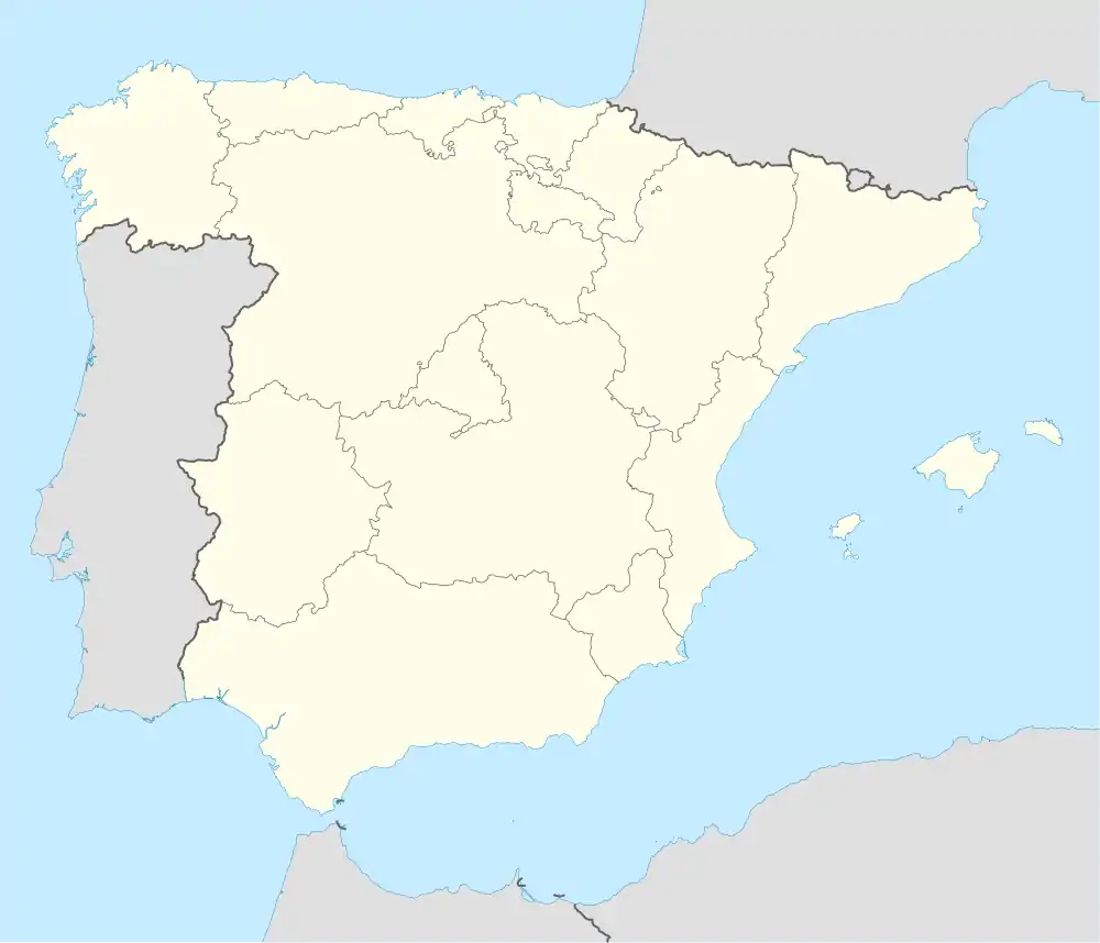
| Wappen | Karte von Spanien | ||
| ? Hilfe zu Wappen |
| ||
| Basisdaten | |||
| Autonome Gemeinschaft: | |||
| Provinz: | Palencia | ||
| Comarca: | Montaña Palentina | ||
| Koordinaten | 42° 52′ N, 4° 18′ W | ||
| Höhe: | 1060 msnm | ||
| Einwohner: | 8 (2012)INE | ||
| Postleitzahl: | 34829 | ||
| Ortskennzahl: | 34027000400 | ||
Matabuena ist ein spanischer Ort in der Provinz Palencia der Autonomen Gemeinschaft Kastilien und León. Matabuena gehört zu Barruelo de Santullán, es befindet sich sechs Kilometer südlich vom Hauptort der Gemeinde. Matabuena ist über die Straße PP-2120 zu erreichen.
Sehenswürdigkeiten
- Romanische Kirche San Andrés
Literatur
- César del Valle Barreda: Antigua Merindad de Aguilar de Campoo. Fundación Santa María la Real, Aguilar de Campoo 2009, ISBN 978-84-89483-55-2, S. 68.
Weblinks
- Beschreibung bei der Gemeinde Barruelo de Santullán (spanisch, abgerufen am 14. August 2013)
This article is issued from Wikipedia. The text is licensed under Creative Commons - Attribution - Sharealike. The authors of the article are listed here. Additional terms may apply for the media files, click on images to show image meta data.

