Marigot Point
Marigot Point (dt.: „Sumpf-Kap“) ist ein Kap an der Westküste der Insel St. Lucia. Verwaltungsmäßig gehört das Gebiet zum Quarter Castries und zur Siedlung Barre St. Joseph. Das Kap erhebt sich bis auf eine Höhe von 51 m und überblickt die Marigot Bay im Süden mit dem Ort Marigot, sowie die Trou Requin im Norden. Marigot Point ist ein Ausläufer des Mount Bellevue.
| Marigot Point | ||
| Geographische Lage | ||
| ||
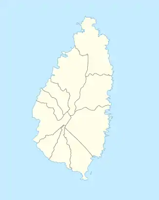
| Koordinaten | 13° 58′ N, 61° 2′ W | |
| Lage | Barre St. Joseph, Castries, St. Lucia | |
| Gewässer | Trou Requin | |
| Gewässer 2 | Marigot Bay | |
This article is issued from Wikipedia. The text is licensed under Creative Commons - Attribution - Sharealike. The authors of the article are listed here. Additional terms may apply for the media files, click on images to show image meta data.