Marapa
Marapa ist eine Insel im östlichsten Distrikt (ward) Birao der Provinz Guadalcanal, Salomonen, die rund drei Kilometer östlich der Insel Guadalcanal liegt und den Marau Sound im Osten begrenzt.
| Marapa | ||
|---|---|---|
| Gewässer | Salomonensee | |
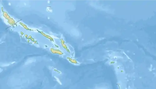
| Inselgruppe | Salomon-Inseln | |
| Geographische Lage | 9° 49′ 0″ S, 160° 52′ 0″ O | |
| ||
| Länge | 5,5 km | |
| Breite | 3,4 km | |
| Fläche | 7,99 km² | |
| Höchste Erhebung | 106 m | |
| Hauptort | Awanararu | |
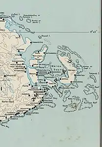 Topographisches Kartenblatt (1950, Ausschnitt) | ||
This article is issued from Wikipedia. The text is licensed under Creative Commons - Attribution - Sharealike. The authors of the article are listed here. Additional terms may apply for the media files, click on images to show image meta data.