Mahee Island
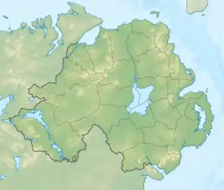
Mahee Island (irisch Inis Mochaoi, nach dem Klostergründer Mochaoi benannt) ist die größte Insel einer Gruppe im Strangford Lough, einem riesigen Naturhafen und Vogelreservat. Die Insel liegt in der Nähe von Comber im County Down bzw. im Distrikt Ards and North Down in Nordirland. Sie ist über die Nachbarinsel Reagh Island und Dämme mit dem Festland verbunden.
| Mahee Island | ||
|---|---|---|
| Gewässer | Strangford Lough | |
| Geographische Lage | 54° 30′ 0″ N, 5° 38′ 0″ W | |
| ||
| Länge | 2,26 km | |
| Breite | 440 m | |
| Fläche | 71,2 ha | |
| Höchste Erhebung | 27 m | |
| Hauptort | Old Town | |
Mahee Island ist Standort des frühirischen Klosters Nendrum und des Mahee Castle von 1570. Im Gezeitenareal vor Mahee Island liegt eine von den Mönchen angelegte Fischmauer. Heute ist die ehemalige Insel insbesondere wegen des Golfplatzes am Ostrand bekannt.
Traditionell bildet Mahee Island ein Townland im Civil parish Tullynakill der Baronie Castlereagh Lower, County Down.
This article is issued from Wikipedia. The text is licensed under Creative Commons - Attribution - Sharealike. The authors of the article are listed here. Additional terms may apply for the media files, click on images to show image meta data.