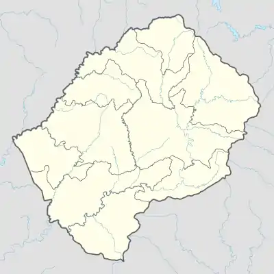
Mabote (Berea)
Mabote (Vietnam, KTA) ist ein Ort und ein Community Council im Distrikt Berea im Königreich Lesotho. Im Jahre 2006 hatte der Bezirk eine Bevölkerung von 38.047 Personen.[1]
| Mabote | |||
|---|---|---|---|
| |||
| Koordinaten | 29° 17′ S, 27° 31′ O | ||
| Basisdaten | |||
| Staat | Lesotho | ||
| Berea | |||
| Höhe | 1468 m | ||
| Einwohner | 38.047 (2006) | ||
Geographie
Das Community Council ist ein Vorort der Hauptstadt Maseru an der Südwestgrenze des Distrikts Berea. Der Verwaltungsort Mabote liegt auf einer Höhe von ca. 1507 m.[2]
Zum Council gehören die Orte[3]:
|
|
|
Kultur
Der Ort ist bekannt als die führende Stadt des Landes in Bezug auf Kapitalverbrechen, daher wird er oft als land of the dead bezeichnet. Die Straßen werden von lokalen Gangs kontrolliert.
Persönlichkeiten
- Tsepo Mathibelle, Marathonläufer
Anmerkungen
- Lesotho Bureau of Statistics, Census Pre Results. bos.gov.ls. Archivlink
- Mabote Community und Mabote bei GeoNames, geonames.org. 2022-02-23.
- Lesotho Bureau of Statistics, Village List. bos.gov.ls. Archivlink
This article is issued from Wikipedia. The text is licensed under Creative Commons - Attribution - Sharealike. The authors of the article are listed here. Additional terms may apply for the media files, click on images to show image meta data.