Luisa Bay
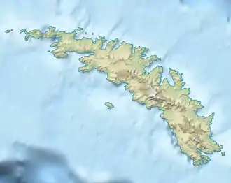
Die Luisa Bay ist eine kleine Bucht an der Nordküste Südgeorgiens. Sie liegt zwischen dem Kap Vakop und Mount Skittle.
| Luisa Bay | ||
|---|---|---|
| Gewässer | Südatlantik | |
| Landmasse | Südgeorgien | |
| Geographische Lage | 54° 23′ 46″ S, 36° 10′ 24″ W | |
| ||
Der South Georgia Survey nahm zwischen 1951 und 1952 eine Vermessung der Bucht vor. Das UK Antarctic Place-Names Committee benannte sie 1955 nach der Luisa, ein seit 1904 im Dienste der Compañía Argentina de Pesca des norwegischen Unternehmers Carl Anton Larsen stehendes Transportschiff, das heute als Wrack in der King Edward Cove liegt.
Weblinks
- Luisa Bay im Geographic Names Information System des United States Geological Survey (englisch)
- Luisa Bay auf geographic.org (englisch)
This article is issued from Wikipedia. The text is licensed under Creative Commons - Attribution - Sharealike. The authors of the article are listed here. Additional terms may apply for the media files, click on images to show image meta data.
