Loup Loup Pass
Der Loup Loup Pass (4.020 ft (1.225 m) hoch) ist ein Gebirgspass in der Kaskadenkette im US-Bundesstaat Washington.
| Loup Loup Pass | |||
|---|---|---|---|
| Passhöhe | 1225 m | ||
| US-Bundesstaat | Okanogan County | ||
| Ausbau | Staatsstraße (Washington State Route 20) | ||
| Gebirge | Kaskadenkette | ||
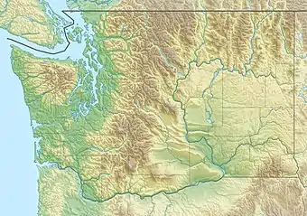
| Karte (Washington) | |||
| |||
| Koordinaten | 48° 23′ 16″ N, 119° 53′ 21″ W | ||
Er liegt östlich des Methow River Valley im Okanogan County, zwischen den Städten Twisp and Okanogan an der Washington State Route 20. ein kleines Skigebiet (Loup Loup Ski Bowl) befindet sich am Pass.
Weblinks
- Loup Loup Pass bei OpenStreetMap.org
- Straßenverhältnisse am Loup Loup Pass auf der Website des Washington State Department of Transportation (englisch)
This article is issued from Wikipedia. The text is licensed under Creative Commons - Attribution - Sharealike. The authors of the article are listed here. Additional terms may apply for the media files, click on images to show image meta data.