Lopévi (Gipfel)
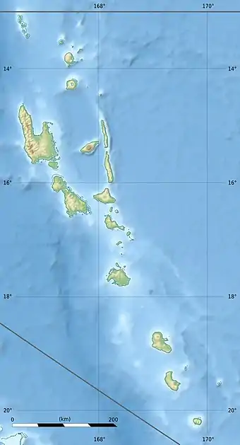
Der Lopévi ist ein 1496 Meter hoher Schildvulkan auf der Insel Lopévi im Staat Vanuatu.
| Lopévi | ||
|---|---|---|
| Höhe | 1413 m | |
| Lage | Insel Lopévi, Vanuatu | |
| Koordinaten | 15° 23′ 24″ S, 167° 49′ 50″ O | |
| ||
| Typ | Schildvulkan | |
| Letzte Eruption | 2017 | |
Vulkanische Aktivität
Der Vulkankegel ist relativ regelmäßig; es gibt jedoch einen weiteren Gipfel Noaillès (732 m) weiter südwestlich.[1] Der Lopévi ist seit 1862 etwa 22-mal ausgebrochen. Bis 1960 lebten noch Menschen auf der Insel, die aber, aufgrund der Bedrohung durch die Vulkanausbrüche, auf die Nachbarinseln gezogen sind.
Der Lopévi liegt an der Subduktionszone zwischen der pazifischen Platte und der australischen Platte.
Einzelnachweise
- Lopévi Volcano bei GeoNames geonames.org. Abgerufen am 21. Januar 2021.
Weblinks
- Lopévi (Gipfel) im Global Volcanism Program der Smithsonian Institution (englisch)
- Lopévi bei VolcanoLive
This article is issued from Wikipedia. The text is licensed under Creative Commons - Attribution - Sharealike. The authors of the article are listed here. Additional terms may apply for the media files, click on images to show image meta data.
