Johns Hopkins Ridge
Johns Hopkins Ridge ist ein markanter Gebirgskamm im ostantarktischen Viktorialand. In der Royal Society Range erstreckt er sich vom Mount Rucker 10 km nach Norden.
| Johns Hopkins Ridge | ||
|---|---|---|
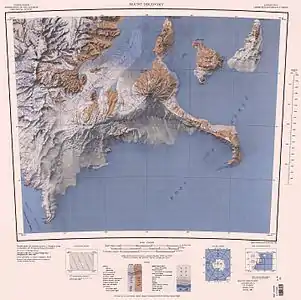 Johns Hopkins Ridge im Nordwesten des Kartenblatts Johns Hopkins Ridge im Nordwesten des Kartenblatts | ||
| Höchster Gipfel | Mount Rucker (3815 m) | |
| Lage | Viktorialand, Ostantarktika | |
| Teil der | Royal Society Range, Transantarktisches Gebirge | |
| ||
| Koordinaten | 78° 8′ 0″ S, 162° 28′ 0″ O | |

Das Gebiet wurde vom United States Geological Survey und mithilfe von Luftaufnahmen der United States Navy kartografisch erfasst. Das Advisory Committee on Antarctic Names benannte den Gebirgskamm 1963 nach der Johns Hopkins University in Baltimore, Maryland, die zahlreiche Forscher für Arbeiten in Antarktika entsandt hatte.
Weblinks
- Johns Hopkins Ridge im Geographic Names Information System des United States Geological Survey (englisch)
- Johns Hopkins Ridge auf geographic.org (englisch)
This article is issued from Wikipedia. The text is licensed under Creative Commons - Attribution - Sharealike. The authors of the article are listed here. Additional terms may apply for the media files, click on images to show image meta data.