Isolation Point
Der Isolation Point ist ein kleiner und 510 m hoher Vulkangipfel, der den Eisschild am südöstlichen Ende von White Island im ostantarktischen Ross-Archipel durchbricht.
| Isolation Point | ||
|---|---|---|
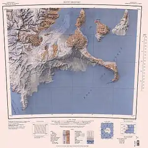
Karte von White Island (oben rechts) mit dem Isolation Point | ||
| Höhe | 510 m | |
| Lage | Ross Dependency, Ostantarktika | |
| Koordinaten | 78° 11′ 0″ S, 167° 30′ 0″ O | |
| ||

Teilnehmer der von 1958 bis 1959 durchgeführten Kampagne der New Zealand Geological Survey Antarctic Expedition benannten ihn nach seiner isolierten Lage.
Weblinks
- Isolation Point im Geographic Names Information System des United States Geological Survey (englisch)
- Isolation Point auf geographic.org (englisch)
This article is issued from Wikipedia. The text is licensed under Creative Commons - Attribution - Sharealike. The authors of the article are listed here. Additional terms may apply for the media files, click on images to show image meta data.