Isla Canela
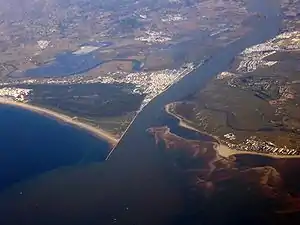
Isla Canela ist eine etwa 6,5 km lange und bis zu 200 m breite spanische Insel im Atlantik. Sie liegt direkt vor dem spanischen Festland im Mündungsgebiet des spanisch-portugiesischen Grenzflusses Guadiana südlich des Stadtgebiets von Ayamonte.
| Isla Canela | ||
|---|---|---|
 Isla Canela (unten rechts) | ||
| Gewässer | Atlantischer Ozean | |
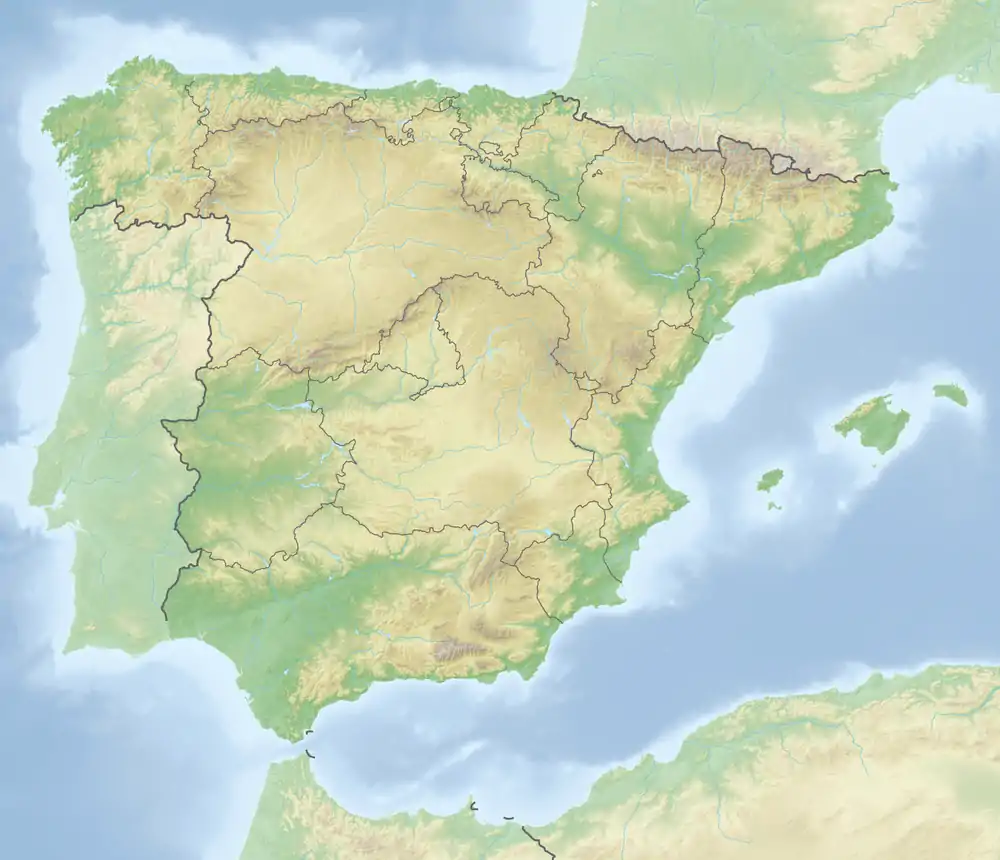
| Geographische Lage | 37° 10′ 23″ N, 7° 22′ 40″ W | |
| ||
| Länge | 6,5 km | |
| Breite | 200 m | |
| Fläche | 1,5 km² | |
| Einwohner | unbewohnt | |
Die Insel ist heute über schmale Fahrdämme mit Ayamonte verbunden. Auf ihr befinden sich mehrere Hotelanlagen und die Strände von Ayamonte.
Weblinks
- Deutschsprachige Informationen auf islacanela.es
This article is issued from Wikipedia. The text is licensed under Creative Commons - Attribution - Sharealike. The authors of the article are listed here. Additional terms may apply for the media files, click on images to show image meta data.
