Hrútfell
Das Hrútfell ist ein 1410 m hoher Tafelvulkan im isländischen Hochland. Sein Volumen wird von Eason et al. (2015) auf 11,5 km3[1] geschätzt, womit er in der ausgestoßenen Lavamenge – man geht bei Tafelvulkanen meist von monogenetischem Ursprung aus – schon fast an die berüchtigten Lakiausbrüche von 1783 heranreicht.
| Hrútfell | ||
|---|---|---|
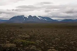
Hrútfell aus östlicher Richtung (Kjölur), rechts im Hintergrund der Langjökull | ||
| Höhe | 1410 m | |
| Lage | Isländisches Hochland | |
| Koordinaten | 64° 44′ 24″ N, 19° 44′ 10″ W | |
| ||
| Typ | Tafelvulkan | |
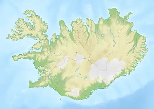
Der Tafelvulkan liegt östlich des Langjökull nahe der Hochlandpiste Kjölur und wird von einem rund 10 km² großen Gletscher mit fünf Gletscherzungen bedeckt. Ähnlich dem Herðubreið entstand er in der Eiszeit unter einem Gletscher und drang nur in der letzten Ausbruchsphase über diesen hinaus, so dass oben eine Haube aus Lavaschichten zu finden ist.
Nahe dem Berg liegt die Hütte Þverbrekknamúli.
Einzelnachweise
- Eason et al.: Effects of deglaciation on the petrology and eruptive history of the Western Volcanic Zone, Iceland. Bulletin of Volcanology, Juni 2015, S. 6