Hound Bay
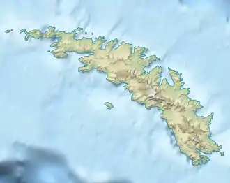
Die Hound Bay ist eine 4 km breite und 5 km tiefe Bucht an der Nordküste Südgeorgiens. Sie liegt zwischen dem Tijuca Point und Kap Vakop.
| Hound Bay | ||
|---|---|---|
| Gewässer | Südatlantik | |
| Landmasse | Südgeorgien | |
| Geographische Lage | 54° 22′ 9″ S, 36° 12′ 36″ W | |
| ||
| Breite | 4 km | |
| Tiefe | 5 km | |
| Inseln | Rolf Rock | |
Die Bucht war vormals unter den Namen George Bay und Hundebugten auf Karten verzeichnet. Nach Darstellung des South Georgia Survey zwischen 1951 und 1952 war die Bucht dagegen bei Walfängern unter dem Namen Bikjebugten (norwegisch für Hundebucht) bekannt, den das UK Antarctic Place-Names Committee 1955 ins Englische übertrug.
Weblinks
- Hound Bay im Geographic Names Information System des United States Geological Survey (englisch)
- Hound Bay auf geographic.org (englisch)
This article is issued from Wikipedia. The text is licensed under Creative Commons - Attribution - Sharealike. The authors of the article are listed here. Additional terms may apply for the media files, click on images to show image meta data.
