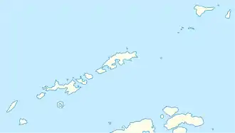
Holtedahl Hill
Der Holtedahl Hill ist ein 150 m hoher und markanter Hügel auf Deception Island im Archipel der Südlichen Shetlandinseln. Er ragt südlich des Mount Pond an der Whalers Bay auf.
| Holtedahl Hill | ||
|---|---|---|
| Höhe | 150 m | |
| Lage | Deception Island, Südliche Shetlandinseln | |
| Gebirge | Cathedral Crags | |
| Koordinaten | 62° 59′ 0″ S, 60° 32′ 0″ W | |
| ||
Der britische Geologe Donald Durston Hawkes (* 1934) vom Falkland Islands Dependencies Survey kartierte ihn 1961. Polnische Wissenschaftler benannten ihn 1999 nach dem norwegischen Geologen Olaf Holtedahl (1885–1975), der zwischen 1927 und 1928 Studien auf den Südlichen Shetlandinseln und auf den Inseln des Palmer-Archipels betrieben hatte.
Weblinks
- Holtedahl Hill im Composite Gazetteer of Antarctica (englisch)
This article is issued from Wikipedia. The text is licensed under Creative Commons - Attribution - Sharealike. The authors of the article are listed here. Additional terms may apply for the media files, click on images to show image meta data.
