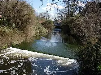
Hogsmill River
Der Hogsmill River ist ein Wasserlauf in Surrey und dem Royal Borough of Kingston upon Thames, England. Er entsteht als Abfluss zweier unbenannter Teiche in Ewell und fließt in nördlicher bzw. nordöstlicher Richtung. Er bildet nach der Mündung des Bonesgate Stream ein Stück lang die Grenze zwischen Surrey und dem Royal Borough of Kingston upon Thames, um dann ganz in diesem zu fließen. Er mündet im Stadtteil Kingston upon Thames in die Themse.
| Hogsmill River | ||
 Der Hogsmill River Der Hogsmill River | ||
| Daten | ||
| Lage | Surrey, Royal Borough of Kingston upon Thames, England | |
| Flusssystem | Themse | |
| Abfluss über | Themse → Nordsee | |
| Quelle | in Ewell 51° 21′ 11″ N, 0° 15′ 20″ W | |
| Mündung | in die Themse 51° 24′ 34″ N, 0° 18′ 31″ W
| |
| Länge | 9,8 km[1] | |
| Einzugsgebiet | 76 km²[1] | |
| Linke Nebenflüsse | Bonesgate Stream | |
| Kleinstädte | Ewell, Kingston upon Thames | |
Zwischen Kingston upon Thames und Malden fließt der Hogsmill River durch die Hogsmill River Park Nature Reserve und in Ewell durch die Hogsmill Nature Reserve
Die Landschaft des Gemäldes Ophelia von John Everett Millais wurde am Hogsmill River südlich von Tolwort genauso, wie das Bild The Hireling Sheperd von William Holman Hunt.