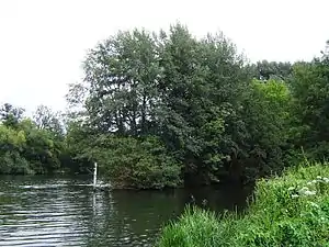
Ferry Eyot
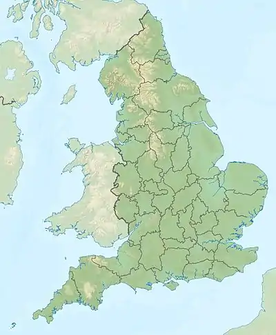
Ferry Eyot oder Ferry Ait ist eine Insel in der Themse in England zwischen den Orten Shiplake in Oxfordshire und Wargrave in Berkshire. Die Insel liegt flussaufwärts des Marsh Lock und gehört zu Oxfordshire.
| Ferry Eyot | ||
|---|---|---|
 Ferry Eyot | ||
| Gewässer | Themse | |
| Geographische Lage | 51° 31′ N, 0° 53′ W | |
| ||
Die Insel ist nach der Bolney Ferry benannt, die an dieser Stelle Schlepppferde der Schiffe über den Fluss setzte. 1775 wurde sie als eine Seilfähre bezeichnet und der Name des Ortes als Beggar’s Hole (oder Beggar’s Hall) nach einem Raum im Harpsden House, das am Ende des 18. Jahrhunderts abgerissen wurde, verzeichnet.[1]
Siehe auch
Einzelnachweise
- Fred S. Thacker: The Thames Highway. A History of the Inland Navigation. Fred. S. Thacker, London 1914, archive.org S. 156, (New Impression. Facsimile Reprint. David & Charles, Newton Abbot 1968, OCLC 79517207).
This article is issued from Wikipedia. The text is licensed under Creative Commons - Attribution - Sharealike. The authors of the article are listed here. Additional terms may apply for the media files, click on images to show image meta data.