Errigal
Der Errigal oder Mount Errigal (irisch: An Earagail oder An tEaragal) im Glenveagh-Nationalpark ist mit 751 m der höchste Berg im irischen County Donegal. Er liegt im Bezirk Gweedore und gehört zur Bergkette der Derryveagh Mountains (irisch Sléibhte Dhoire Bheatha).
| Errigal | ||
|---|---|---|
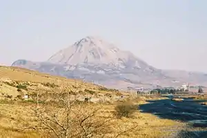
Mount Errigal von Gweedore aus gesehen | ||
| Höhe | 751 m ü. NN | |
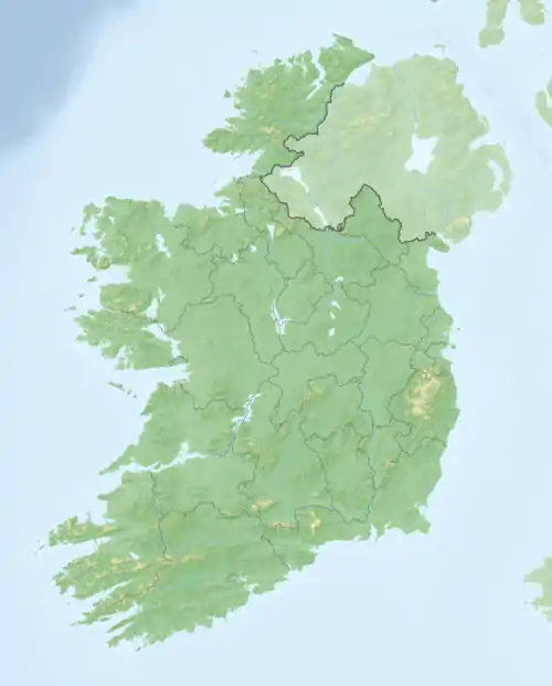
| Lage | County Donegal, Irland | |
| Gebirge | Derryveagh Mountains | |
| Koordinaten | 55° 1′ 59″ N, 8° 6′ 43″ W | |
| ||
Einen formalen Ansatz zum Keltenkreuz stellt das rohe Keerogue Cross auf dem Friedhof von Errigal dar.
Weblinks
Commons: Errigal – Sammlung von Bildern, Videos und Audiodateien
http://www.thehighrisepages.de/bergtouren/tour_030.htm (Bilder)
This article is issued from Wikipedia. The text is licensed under Creative Commons - Attribution - Sharealike. The authors of the article are listed here. Additional terms may apply for the media files, click on images to show image meta data.