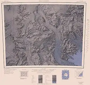
Diversion Hills
Die Diversion Hills (englisch für Umleitungshügel) sind eine Gruppe niedriger Felsvorsprünge im ostantarktischen Viktorialand. Sie ragen am östlichen Ausläufer der Pain Mesa in der Mesa Range auf.
| Diversion Hills | ||
|---|---|---|
| Lage | Viktorialand, Ostantarktika | |
| Teil der | Mesa Range im Transantarktischen Gebirge | |
| ||
| Koordinaten | 73° 9′ S, 163° 30′ O | |
 Karte der Mesa Range mit den Diversion Hills (oben links) Karte der Mesa Range mit den Diversion Hills (oben links) | ||
Die Südgruppe der von 1966 bis 1967 dauernden Kampagne im Rahmen der New Zealand Geological Survey Antarctic Expedition benannte sie so, da die Gruppe auf ihrem Weg zum Navigator-Nunatak hier nach Osten abzweigte.
Weblinks
- Diversion Hills im Geographic Names Information System des United States Geological Survey (englisch)
- Diversion Hills auf geographic.org (englisch)
This article is issued from Wikipedia. The text is licensed under Creative Commons - Attribution - Sharealike. The authors of the article are listed here. Additional terms may apply for the media files, click on images to show image meta data.
