Disautel Pass
Der Disautel Pass (3.252 ft (991 m) hoch) ist ein Gebirgspass im US-Bundesstaat Washington.[1]
| Disautel Pass | |||
|---|---|---|---|
| Passhöhe | 991 m | ||
| US-Bundesstaat | Okanogan County | ||
| Ausbau | Staatsstraße (Washington State Route 155) | ||
| Gebirge | Okanagan Highland | ||
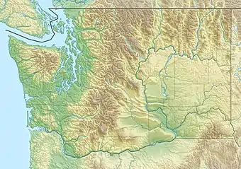
| Karte (Washington) | |||
| |||
| Koordinaten | 48° 16′ 49″ N, 119° 8′ 35″ W | ||
Er wird von der Washington State Route 155 zwischen Grand Coulee und Omak gequert und liegt in der Colville Indian Reservation etwa 12 mi (19 km) nordwestlich der Colville Indian Agency.
Einzelnachweise
- "Washington State Mountain Pass Road Report: DISAUTEL PASS SR 155". Washington State Department of Transportation. Abgerufen am 1. Juni 2018.
This article is issued from Wikipedia. The text is licensed under Creative Commons - Attribution - Sharealike. The authors of the article are listed here. Additional terms may apply for the media files, click on images to show image meta data.