Culit
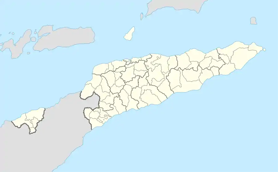
Die Schlammvulkane von Culit liegen im Westen des osttimoresischen Sucos Holpilat (Gemeinde Cova Lima), nahe dem Ort Kulit, auf flachen Hügeln am Flusstal des Tafara. Die Gemeindehauptstadt Suai liegt 12,5 Kilometer in Richtung Ost-Süd-Ost.
| Schlammvulkane von Culit | |||||
| |||||
| Nördlicher | 9° 19′ 11″ S, 125° 9′ 25″ O | ||||
| Südlicher | 9° 19′ 37″ S, 125° 9′ 50″ O | ||||
1965 wurden die beiden Vulkane als maximal ein Meter hohe Kegel beschrieben, mit 30, beziehungsweise 70 Metern Durchmesser. In deren Mitte blubbert aus mehreren Löchern salziges Schlammwasser und Gasblasen. Das Gas ist nicht brennbar.[1]
Einzelnachweise
This article is issued from Wikipedia. The text is licensed under Creative Commons - Attribution - Sharealike. The authors of the article are listed here. Additional terms may apply for the media files, click on images to show image meta data.