Cherry Island (Loch Ness)
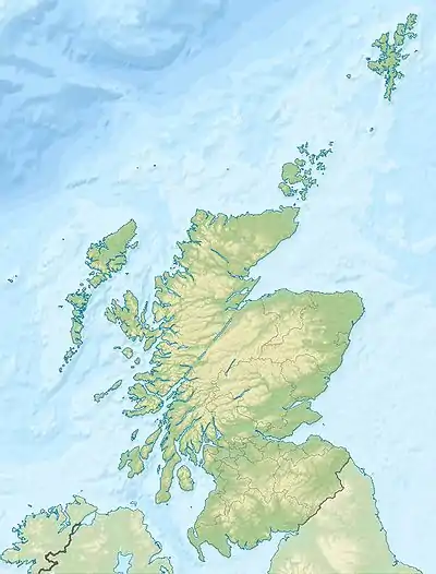
Cherry Island (schottisch-gälisch: Eilean Muireach) ist eine künstliche Insel (Crannóg) aus der Bronzezeit im Loch Ness. Sie liegt etwa 140 m vom Ufer entfernt am südwestlichen Ende des Sees unweit von Fort Augustus.
| Cherry Island (Loch Ness) | ||
|---|---|---|
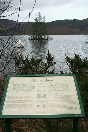 Cherry Island mit Erläuterungstafel | ||
| Gewässer | Loch Ness | |
| Geographische Lage | 57° 9′ 18″ N, 4° 40′ 9″ W | |
| ||
| Länge | 50 m | |
| Breite | 50 m | |
Heute ist von Cherry Island nur noch ein kleiner Teil ihres ursprünglichen Umfangs (etwa 50 m) sichtbar. Ein Großteil wurde überflutet, als zu Beginn des 19. Jahrhunderts der Wasserstand im Loch Ness für den Bau des Kaledonischen Kanals angehoben wurde. Im 15. Jahrhundert diente die Insel als Standort für eine Burg, von der heute nicht einmal mehr Ruinen zu sehen sind.
Neben Cherry Island existierte vor der Anhebung des Wasserstands ein zweiter Crannóg, Dog Island. Dieser wurde aber beim Bau des Kaledonischen Kanals vollständig überflutet.
Literatur
- O. Blundell: Notice of the examination, by means of a diving-dress, of the artificial island, or crannog, of Eilean Muireach, in the south end of Loch Ness, In: Proc Soc Antiq Scot, BD. 43, 1908–1909. S. 159–164
- Martin Coventry: Castles of the Clans: the strongholds and seats of 750 Scottish families and clans. Musselburgh 2008.
Weblinks
- Infotafel
- Eintrag zu Cherry Island in Canmore, der Datenbank von Historic Environment Scotland (englisch)