Bray (Botswana)
Bray ist ein Ort im Kgalagadi District von Botswana.
| Bray | |||
|---|---|---|---|
| |||
| Koordinaten | 25° 27′ S, 23° 43′ O | ||
| Basisdaten | |||
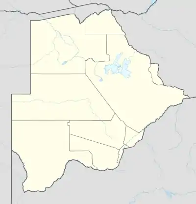
| Staat | Botswana | ||
| Kgalagadi District | |||
| Einwohner | 1041 (2011) | ||
Geographie
Bray ist eine ländliche Siedlung und liegt an der Grenze zwischen Botswana und Südafrika in der Nähe des periodischen Flusses Molopo.[1]
Verkehr
Der Ort ist über die Regionalstraße A20 zu erreichen, die vom Südwesten aus Tshabong heranführt und nach Sekoma verläuft, wo sie in die Fernstraße A2 (Trans-Kalahari Highway) mündet.[1]
Weblinks
- Statistics Botswana: Kgalagadi South Sub District. Population an Housing Census Selected Indicators 2011. Gaborone 2015. online auf www.statsbots.org.bw (englisch, PDF)
Einzelnachweise
- nach OSM.
This article is issued from Wikipedia. The text is licensed under Creative Commons - Attribution - Sharealike. The authors of the article are listed here. Additional terms may apply for the media files, click on images to show image meta data.