Batiki (Insel)
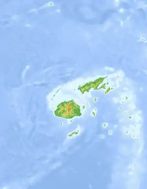
Batiki (gesprochen Mbatiki) ist eine etwa 12 km² große Insel vulkanischen Ursprungs, die zum Archipel Lomaiviti des Inselstaates Fidschi im Südpazifik gehört. Sie erreicht eine Höhe von 186 Metern.[1]
| Batiki (Mbatiki) | ||
|---|---|---|
| Gewässer | Pazifischer Ozean | |
| Inselgruppe | Lomaiviti-Inseln (Fidschi-Inseln) | |
| Geographische Lage | 17° 47′ 12″ S, 179° 9′ 37″ O | |
| ||
| Fläche | 12 km² | |
| Höchste Erhebung | 186 m | |
| Einwohner | 300 25 Einw./km² | |
| Hauptort | Mua | |
Die rund 300 Einwohner leben in vier Dörfern, Mua (Hauptort, Südwesten), Yavu (Nordwesten), Naigani (Nordosten) und Manuku (Südosten) an der Küste von Fischfang und Subsistenz-Landwirtschaft. Die Insel ist von einem Saumriff umgeben und hat keine sicheren Ankerplätze.
Weblinks
- Batiki Island – Life on project is booming! Blog mit Bildern auf Thinkpacific.com
Einzelnachweise
- Sailing Directions (enroute), Pub. 126, Seite 78 (PDF; englisch; 5,1 MB)
This article is issued from Wikipedia. The text is licensed under Creative Commons - Attribution - Sharealike. The authors of the article are listed here. Additional terms may apply for the media files, click on images to show image meta data.