Barff Point
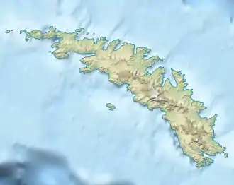
Der Barff Point ist eine Landspitze am Ende der Barff-Halbinsel an der Nordküste Südgeorgiens. Sie begrenzt östliche die Einfahrt zur Cumberland Bay.
| Barff Point | ||
| Geographische Lage | ||
| ||
| Koordinaten | 54° 15′ S, 36° 24′ W | |
| Lage | Südgeorgien | |
| Gewässer | Südatlantik | |
| Gewässer 2 | Cumberland Bay | |
Benannt ist sie nach Leutnant Arthur Douglas Barff (1877–1955) von der Royal Navy, der 1906 an Bord der HMS Sappho an der Vermessung der Cumberland Bay unter der Leitung Carl Anton Larsens beteiligt war.
Weblinks
- Barff Point im Geographic Names Information System des United States Geological Survey (englisch)
- Barff Point auf geographic.org (englisch)
This article is issued from Wikipedia. The text is licensed under Creative Commons - Attribution - Sharealike. The authors of the article are listed here. Additional terms may apply for the media files, click on images to show image meta data.
