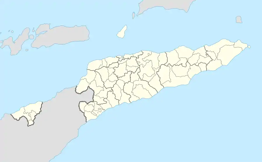
Bairo Lecidere
Bairo Lecidere ist ein historischer Stadtteil der osttimoresischen Landeshauptstadt Dili im Verwaltungsamt Nain Feto. Er liegt im Suco Bidau Lecidere und bildet den Osten der Aldeia Capela. Die Südgrenze von Bairo Lecidere bildet in etwa die Rua 30 de Agosto (ehemals Av. Dr. António da Câmara bzw. Rua José Maria Marques), die Westgrenze die Avenida Dom Martinho Lopes (ehemals Estrada de Bidau bzw. Estrada de Lecidere), die Nordgrenze die Rua de Lecidere (ehemals Rua Gov. Filomeno de Câmara) und die Westgrenze die Travessa de São Miguel Arcanjo (ehemals Rua Agapito Carvalho). Von Süden führt die Sackgasse Beco João Paulo II. in den Stadtteil, von Norden her die Beco de Santa Terezinha und von Osten her die Beco de Bom Samaritano. Im Osten befindet sich der Sitz des Sucos Bidau Lecidere.[1]
| Bairo Lecidere | |||
|---|---|---|---|
| |||
| Koordinaten | 8° 33′ S, 125° 35′ O | ||
| Basisdaten | |||
| Staat | Osttimor | ||
| Dili | |||
| Verwaltungsamt | Nain Feto | ||
| Suco | Bidau Lecidere | ||
| Aldeia | Capela | ||
Einzelnachweise
- Direcção-Geral de Estatística: Atlas der Gemeinde Dili, abgerufen am 21. Dezember 2020.
