Bahaya
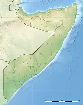
Der Berg Bahaya (Somali: Baxaya) ist – nach dem Shimbiris – die zweithöchste Erhebung in Somalia mit einer Höhe von 2084 m[1]. Er liegt südlich von Qandala, östlich von Boosaaso (Bender Cassim), in der Verwaltungsregion Bari. Unweit nördlich des Bahaya liegt die Küste am Golf von Aden.
| Bahaya | ||
|---|---|---|
| Höhe | 2084 m | |
| Lage | Somalia, Ostafrika | |
| Koordinaten | 11° 16′ 5″ N, 49° 48′ 28″ O | |
| ||
Quellen
- Somalia Topographic Maps 1:100,000. U.S. National Imagery and Mapping Agency, Series Y629, Blatt 9447, 1989 (PDF)
This article is issued from Wikipedia. The text is licensed under Creative Commons - Attribution - Sharealike. The authors of the article are listed here. Additional terms may apply for the media files, click on images to show image meta data.