Axthelm Ridge
Axthelm Ridge ist ein schmaler und 6,5 km langer Gebirgskamm an der Oates-Küste des ostantarktischen Viktorialands. In den Wilson Hills ragt er 2,5 km südöstlich des Parkinson Peak auf.
| Axthelm Ridge | ||
|---|---|---|
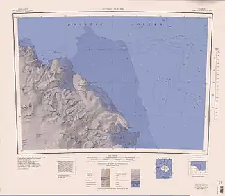 Topographische Karte mit dem Axthelm Ridge (linke Kartenhälfte) Topographische Karte mit dem Axthelm Ridge (linke Kartenhälfte) | ||
| Lage | Viktorialand, Ostantarktika | |
| Teil der | Wilson Hills im Transantarktischen Gebirge | |
| ||
| Koordinaten | 69° 35′ S, 159° 5′ O | |

Der United States Geological Survey kartierte ihn anhand von Vermessungen und Luftaufnahmen der United States Navy zwischen 1960 und 1963. Das Advisory Committee on Antarctic Names benannte ihn nach Commander Charles E. Axthelm (* 1928), Adjutant des Kommandeurs der Unterstützungseinheiten der US-Navy in Antarktika während der Deep Freeze Operationen der Jahre 1965 und 1966.
Weblinks
- Axthelm Ridge im Geographic Names Information System des United States Geological Survey (englisch)
- Axthelm Ridge auf geographic.org (englisch)
This article is issued from Wikipedia. The text is licensed under Creative Commons - Attribution - Sharealike. The authors of the article are listed here. Additional terms may apply for the media files, click on images to show image meta data.