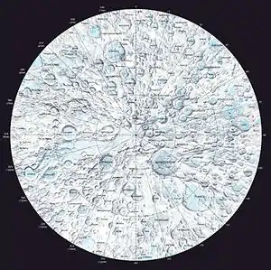
Antoniadi (Mondkrater)
Antoniadi ist ein Mondkrater, der auf der Mondrückseite in der Nähe des Südpols liegt.
| Antoniadi | ||
|---|---|---|
| ||
| Position | 69,23° S, 173,06° W | |
| Durchmesser | 138 km | |
| Kartenblatt | 141 (PDF) | |
| Benannt nach | Eugène Michel Antoniadi (1870–1944) | |
| Benannt seit | 1970 | |
| Sofern nicht anders angegeben, stammen die Angaben aus dem Eintrag in der IAU/USGS-Datenbank | ||
Weblinks
- Antoniadi im Gazetteer of Planetary Nomenclature der IAU (WGPSN) / USGS
- Antoniadi Digital Lunar Orbiter Photographic Atlas of the Moon
- Erin Dominovu. a.:GEOLOGY OF ANTONIADI CRATER, SOUTH POLE AITKEN BASIN, MOON (pdf; 160 kB)
This article is issued from Wikipedia. The text is licensed under Creative Commons - Attribution - Sharealike. The authors of the article are listed here. Additional terms may apply for the media files, click on images to show image meta data.
