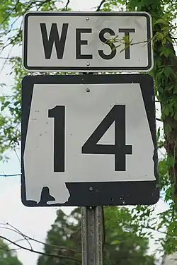
Alabama State Route 14
Die Alabama State Route 14 (kurz AL 14) ist eine in Ost-West-Richtung verlaufende State Route im US-Bundesstaat Alabama.

| |
|---|---|
| Basisdaten | |
| Gesamtlänge: | 247 mi / 398 km |
| Anfangspunkt: | |
| Endpunkt: | |
| Countys: | Pickens County Greene County Hale County Perry County Dallas County Autauga County Elmore County Tallapoosa County Macon County Lee County |
Die State Route beginnt an der Mississippi State Route 69 westlich von Carrollton an der Grenze zu Mississippi und endet bei Opelika am U.S. Highway 280. Westlich von Eutaw trifft sie auf die Interstates 20 und 59 sowie die U.S. Highways 11 und 43. Im Norden der Stadt Selma bildet die AL 14 für vier Meilen zusammen mit dem U.S. Highway 80 eine Umgehungsroute. Bei Prattville kreuzt die State Route die Interstate 65.
.jpg.webp) Übergang von AL 14 zu MS 69
Übergang von AL 14 zu MS 69 Straßenschild in Pickensville
Weblinks
Commons: Alabama State Route 14 – Sammlung von Bildern, Videos und Audiodateien
This article is issued from Wikipedia. The text is licensed under Creative Commons - Attribution - Sharealike. The authors of the article are listed here. Additional terms may apply for the media files, click on images to show image meta data.